

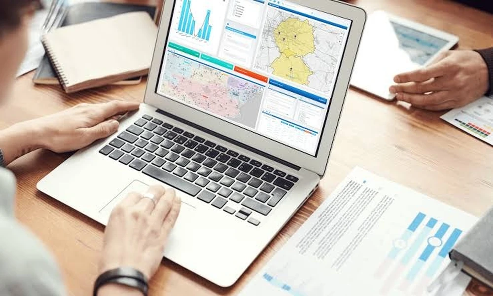
Location analysis has traditionally meant demographics, drive times and competitor mapping, with climate treated as a separate subject for the sustainability team. That separation no longer holds. Modern location intelligence software places physical climate risk on the same map as markets, labour and logistics, so a site that looks ideal commercially can be tested against the conditions it will face over its working life. The result is a fuller basis for choosing where to build, lease or invest.
What Location Intelligence Traditionally Covered
The discipline grew out of retail and property. Analysts overlaid census data, spending patterns, traffic counts and competitor locations to estimate how a store or branch would perform. Logistics teams added road networks and delivery windows. Industrial users added land prices, utilities and zoning. All of this remains necessary. What it shares is an assumption that the physical setting is fixed: that the river, the coastline and the summer temperature will behave as they always have.
Why Climate Belongs in the Same Map
That assumption is weakening. Flood zones are being redrawn, heat extremes are becoming more frequent in many regions and water stress is affecting industrial permits. A site chosen for excellent road access is a poor choice if the access road floods several times a decade. Treating climate as a later check invites this mistake, because by then the team is committed to a shortlist. Placing it in the same tool means it shapes the shortlist itself.
Layers That Matter for a Site Decision
A complete view brings together several kinds of data. Market layers cover customers, workforce and competitors. Infrastructure layers cover transport, power, water and connectivity. Regulatory layers cover zoning, incentives and environmental restrictions. Physical layers cover terrain, flood plains, heat, wind, wildfire and coastal change under future scenarios. The value comes from seeing them together, since the best location is seldom the best on any single layer and trade-offs only become visible side by side.
Adding Physical Risk Scores
Raw hazard maps are difficult for a non-specialist to interpret. A flood depth grid or a count of hot days says little to a property director. Scores translate these into a common scale that can be compared across sites and countries. The most useful ones draw on climate risk and resilience analytics that reflect both the hazard and the protection already in place, so a well-defended district is not penalised in the same way as an exposed one with no defences.
Setting Criteria and Weights
Software does not choose a site. It applies the priorities the user sets. A cold-chain operator may weight power reliability and heat exposure heavily. A retailer may care most about catchment and footfall, with flood risk as a threshold test. Good practice is to agree criteria and weights before looking at results, record the reasoning, and run sensitivity checks to see whether the ranking survives a reasonable change in weights. If it does not, the decision needs more thought.
Shortlisting Without Losing Nuance
Screening large areas quickly is the strength of these tools, but a ranking can conceal important detail. Two locations with the same overall score may differ sharply underneath: one moderately exposed to several hazards, another severely exposed to one. The team should open the components for every shortlisted site and consider which risks can be engineered away at reasonable cost and which cannot. Chronic water scarcity, for instance, is far harder to design around than occasional surface flooding.
Sector Examples: Retail, Logistics and Industry
A retailer planning new outlets can exclude catchments where flooding is likely to interrupt trading. A logistics firm can test whether a proposed hub and its feeder routes remain usable in a severe storm season. A manufacturer can compare regions on water availability and heat stress for outdoor workers. A renewable energy developer can assess wind and solar resource alongside hazard exposure. In each case the same map answers commercial and physical questions at once.
Data Quality and Resolution
Results are only as sound as the inputs. Users should check the resolution of the climate layers, since a coarse grid can miss a local flood channel or assign an entire city one value. Coverage should be consistent across borders, or comparisons between countries will be distorted. Update frequency matters for fast-changing layers such as land use. Providers should state plainly where their data is weak, and a tool that claims equal confidence everywhere deserves scepticism.
Who Should Be in the Room
Site decisions used to belong to property and operations. Adding climate brings in risk, finance, insurance and sustainability colleagues, each of whom reads the map differently. Involving them early avoids late objections and produces a decision that stands up to lender and investor questions. It also helps to appoint one person to maintain the criteria and document how each site was assessed, so that the reasoning can be revisited when conditions or strategy change.
Choosing and Using a Tool Well
Pick software that combines commercial and climate layers, shows what drives each score and lets you set your own weights. Test it on existing sites before trusting it on new ones. Use it to narrow the field, then verify shortlisted locations with local surveys and engineering advice. Where available, consult location-level data on adaptation measures to see whether a region is investing in its own protection. A place that is steadily improving its defences may be a sounder long-term choice than its current exposure suggests.
